top of page
IMG_4062_edited_edited.jpg

Drainage Permitting, Delineation, & Preperation Services

We handle everything from drainage permits and GPS topographic mapping to precise land leveling and site prep. Our process ensures your land is ready, compliant, and built to drain right the first time.

Topography Mapping 

We use a tracked vehicle with GPS mapping capabilities to create a surface elevation map of each project, with a topo stick as backup for any areas a vehicle can't access. We then design a drainage plan that can be manipulated to suit the current grower or landowners needs.

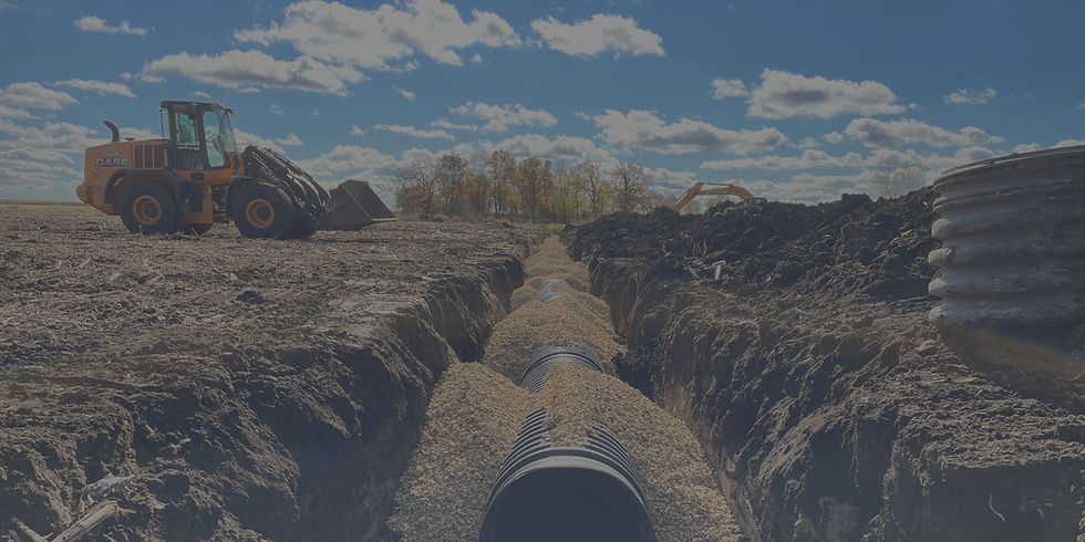
Site Prep & Land Leveling

We can reshape land to smooth and direct the contours, making the surface water move in the proper direction. Our dozer is equipped with fully automated GPS blade control that assists the operator to get the land shaped to the proper scope even if the tolerances of the grades are very tight or flat.

Tile Drainage Permits

Dried Up Drainage works with each landowner and grower from start to finish during the permit process to ensure that there are no surprises during or after your project is done from any of the governing agencies in your area.

© 2025 by KC Marketing Company

​

  • Instagram
  • Facebook
bottom of page